GIS and Remote Sensing Applications in Water Network Management Certificate
10 Curriculum
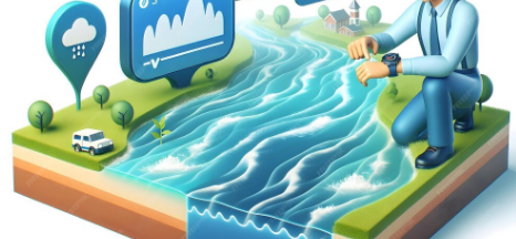
This course introduces the powerful combination of Geographic Information Systems (GIS) and Remote Sensing technologies for managing water distribution networks and resources. Participants will learn how to map and analyze water infrastructure, monitor surface and groundwater, detect leaks and manage assets, assess water‑quality issues, and respond to emergencies using spatial‐data tools. With a forward‑looking focus on innovation and real‑world applications, the course equips water professionals and engineers with practical skills to transform data into actionable insights in the water sector.